Vision and Mission
VISION: To Be The Leading Full-Service Land Surveying Company in East Idaho.
MISSION: To Provide Accurate And Effective Land Surveying Solutions That Are Responsive To Our Client's Needs In An Innovative, Professional, And Quality Manner.
What's in a name?
The dioptra is the original survey instrument developed by Greek Astronomers for use in measuring angles. This tool was used extensively to assist in the growth of the Greek Empire.
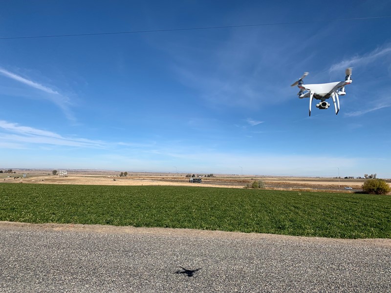
Recent News
Reviews
What Our Clients Are Saying
I have worked with Dioptra on simple survey work and very complex survey work. Whether the project required a simple survey for purchase due diligence, or a complex topographic survey with dozens of obstacles, Dioptra has the skills and technology to provide what we need. It’s a pleasure working with Dioptra. I will use them again and would recommend them to a friend or peer.
Dustee Woolstenhulme, Idaho Central Credit Union Project Analyst
Dioptra consistently displays leadership and innovation in assisting the City of Chubbuck with GIS asset management and LIDAR data collection/mapping. The products they deliver increase our operational efficiencies and reduce potential construction conflicts.
Rodney Burch PLS, Former City of Chubbuck Public Works Director
The staff at Dioptra are always very responsive and professional. Dioptra continually meets or finishes below the anticipated project budget while delivering quality work. I would not hesitate to continue to work with Dioptra on future projects.
Brent Knezacek P.E.